HISTORIC MAPS OF THE RACINE COUNTY AREA
Note: ZOOMABLE with Mouse Wheel
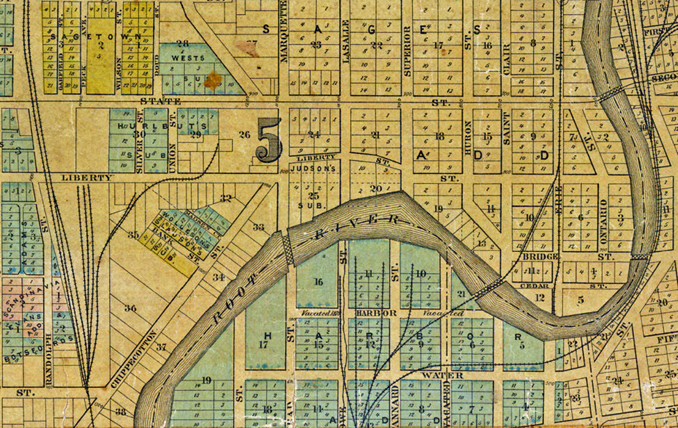
New - 1843 Map by Henry Durand - Village of Racine
New - Racine County Highway System - 1948
New - 1855 Map of Southeasern Wisconsin
City Hall Renovation Find - Map of Racine - 1855
Map of Racine and Kenosha Counties - 1873
National Realty Map - Downtown Business District - 1950
"Birds-Eye View" Of Racine - 1883
NEW -1908 Plat Map Of Racine - 4 Sections
Section 1 - Section 2 - Section 3 - Section 4
1924 Plat Map Of Racine - 4 Sections:
Section 1 - Section 2 - Section 3 - Section 4
1906 Map of Racine and Harbor (Part 1) -
North Portion With Map Data (Part 2)
Map Drawing - East End of Racine County - 1893
Map Of The City Of Racine - Knight & Knight - 1883
Redding & Watson's Map of Racine County - 1858
"Plan of Racine" from the Historical Atlas Of Wisconsin - 1878